7/17/2024
Our quest today was to see the Kennecott and Root Glaciers. It took 3 hours on the 50 miles of rutted, washer board, potholed, gravel road to get there. We parked and had to cross a long pedestrian bridge and then wait for a shuttle to take us 4 more miles to Kennecott. The town was an old copper mine in the early 1900's and today has some remnants of that town. The best view of the Kennecott Glacier was the pedestrian bridge. The Root Glacier looks like a pile of sand because there are layers of ice/sand/ice/sand, etc. At the end of the day, we spent 3 more hours on the road from hell to return to our Copper River Rest Area Campsite (free).
 |
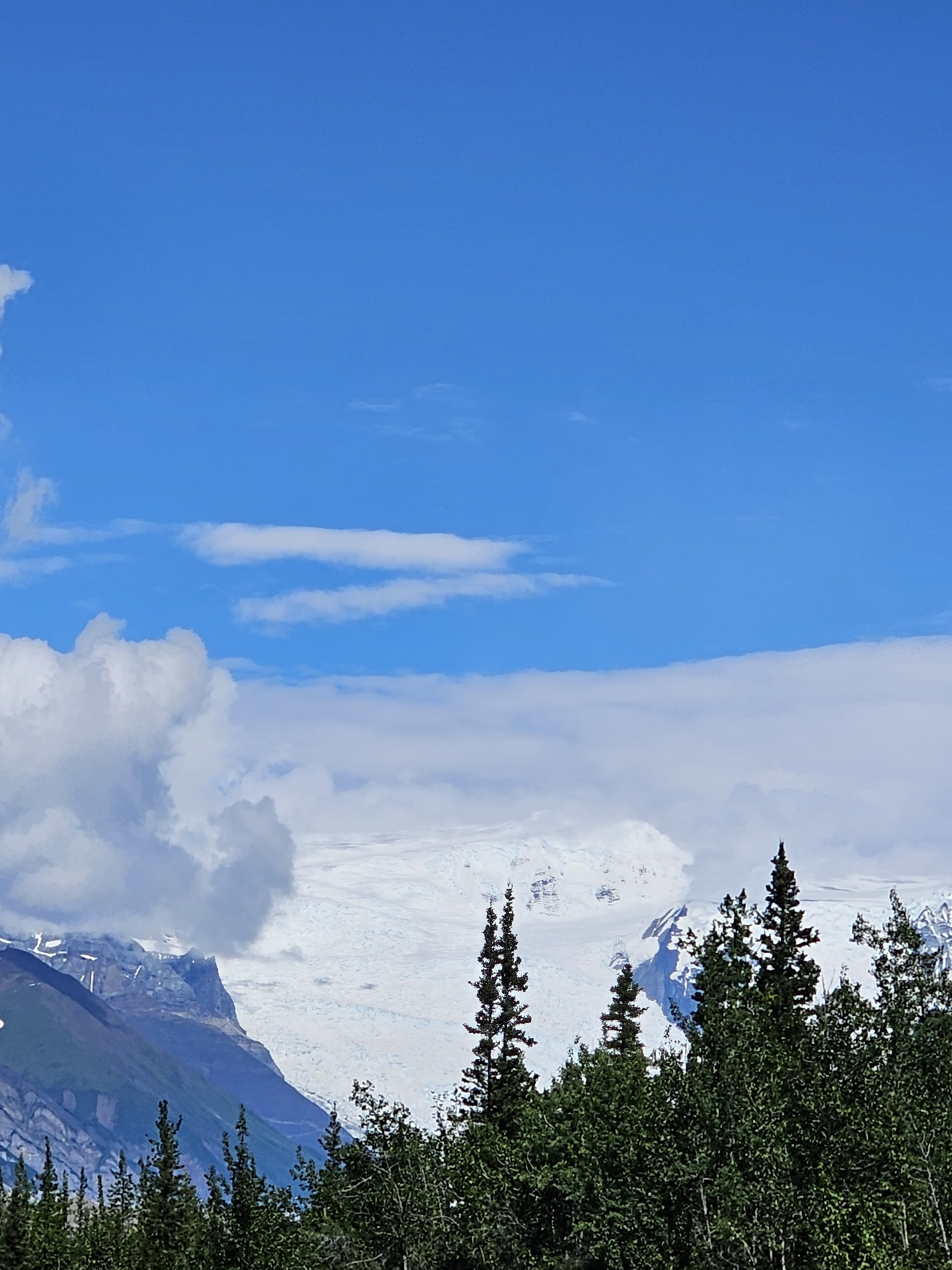
| Completely snow topped mountain in the distance on the 60 mile road |

|
One lane road through this former railroad tunnel
|
 |
| Lake on our route |
 |
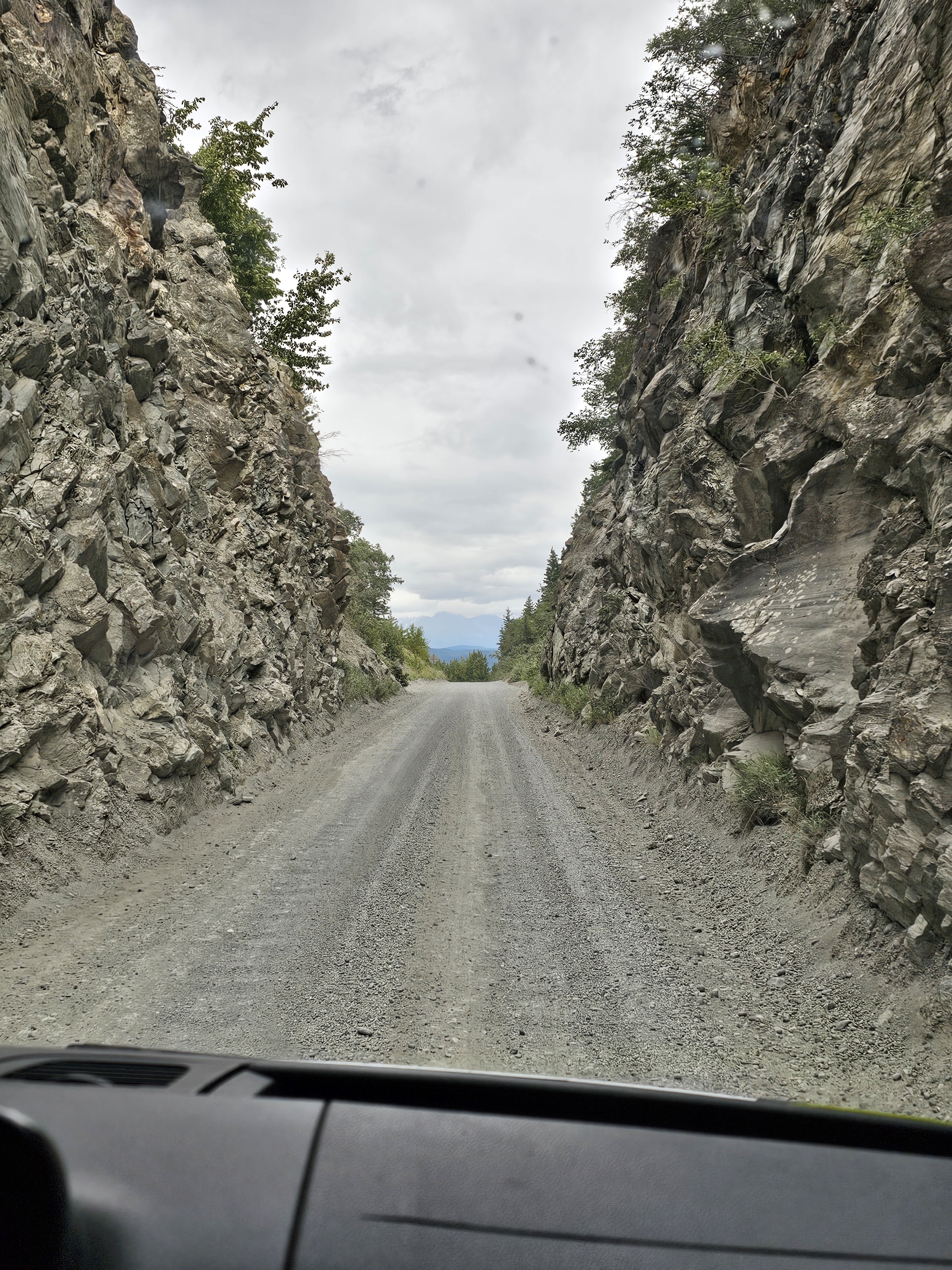
| Just a sample of road conditions |
 |
| Single-lane road (for cars ) across a big river |
 |
| Our view as we drove across the single-lane road |
 |
| Dust, dust, dust |
 |
| The result of the road |
 |
| Pedestrian bridge |
 |
| Kennecott Glacier |
 |
That is the Root Glacier in the background. Looks like a sandpile
|
 |
| The old copper mine |
 |
| Another view of the glacier |
 |
| Different mountain range |
 |
| A view from the Kennecott Mine across top of the glacier. Rock and grit atop the ice. In 1911, the glacier was over 700 feet higher. |
 |
| Looking down from the one lane car bridge |


No comments:
Post a Comment
Note: Only a member of this blog may post a comment.